
I love maps. The GPS in the car may be a tactical tool, but I still rely on paper maps to plan the strategic aspects of a road trip. Maps and charts also tell stories, and historical maps capture moments in time.
On my desk sits a map-covered tissue box. Yellowed with age, it was created around 1977 when my mother and I wallpapered a bathroom with maps from an epic multi-state trip taken the summer before. The map used for the tissue box represents my home town at the time. Looking at it now, it’s amazing to see how many changes in the roads and freeways have occurred over the last 45 years or so!

As a private pilot, I also relied on aviation sectional charts to find my way from airport to airport and Jeppesen approach charts to safely land when I got there. GPS makes the job much easier now, but they don’t tell the stories paper charts tell. Follow the railroad for example, and see where the old towns were before the Interstates passed them by. The chart shows a big letter on a hill … what does that stand for?
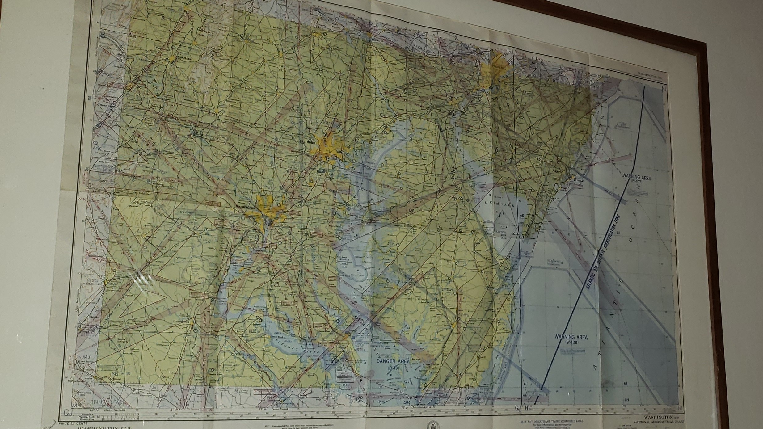
Years ago, I found an aviation chart dated October 15, 1942 for sale on eBay. Originally priced at 25 cents, I bought it for $7 and spent another $200 or so framing it. It, too, represents some moments in time and showcases the old “four course radio range” navigation system aviators used back then, which fell out of favor more than 60 years ago as new technologies improved efficiency and safety.

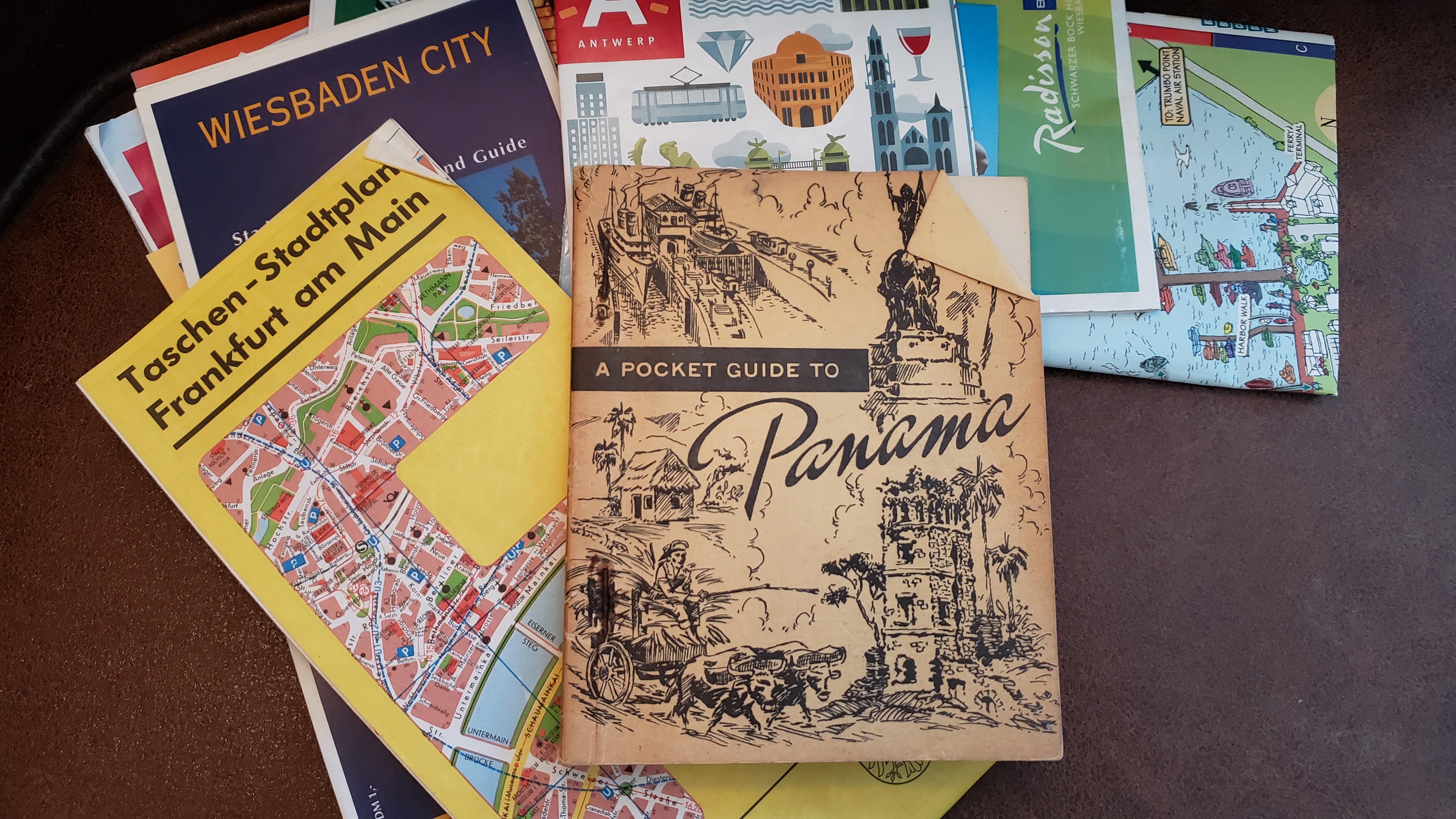
I’m a sucker for old maps found in antique stores. Often available for a buck or less, I’ll often pick one or two on our travels to capture the historical nature of places we’ve been. Sadly, too many of these remain in a box or drawer, but every now and then I’ll break them out just to look for those stories, and they make me smile.
There’s a whole world out there waiting to be explored. Let the old maps charting your journey teach you a little history!
© The World A to Z, LLC 2022 — Unless otherwise indicated, no compensation was received for this blog.
